Being a Pilot means keeping a tab on everything i.e. weather, flight schedules, etc. This app helps me get all the information under one hood.

by divenoixa
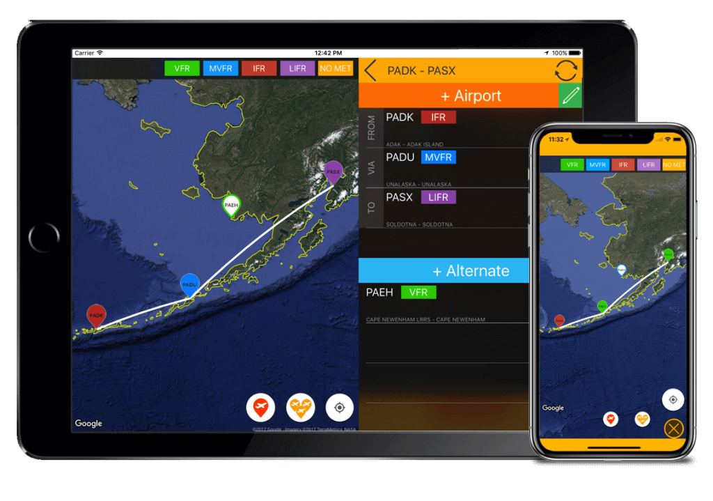
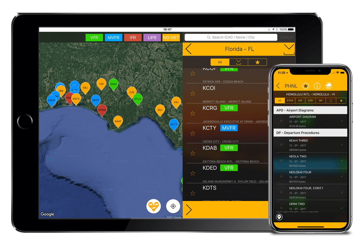
It has offline data available to numerous airports and flying schedules. Pilots just go and grab this app.
by emkhongditim
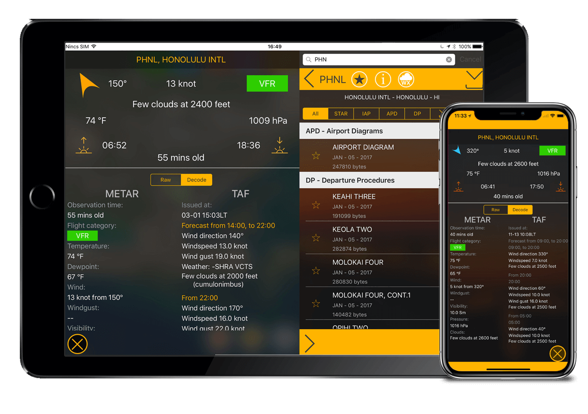
One of the best aeronautical weather app in the market. It helps me gauge the weather conditions enroute as well as the airport that i'm approaching.
by muonnoi45